Showing posts with label Trails. Show all posts

Monday, August 8, 2016

Rochers de Naye

The Rochers de Naye is a mountain in the Swiss Alps overlooking Lake Geneva near Montreux. It lies on the watershed separating the Rhone and the Rhine. The summit is accessible via a charming cog railway, the highest railway in the canton of Vaud, but we took the other option: on foot!

The route 

We followed the Via Alpina trail (#1 on the Swiss trail system) up from Montreux, and the round trip covered 29km and 1580m of climbing. The first part of the route, just coming out of Montreux, passes through the Gorges du Chauderon.

The Chauderon Gorge
As the route continued up the mountain, we were treated to beautiful Alpine flowers and spectacular views over the lake. There are several activities at the top of the trail, including a marmot sanctuary, a restaurant, accommodation in Mongolian yurts, further walks along the ridge line, and ski slopes in winter.

A Chemin de Montagne

View over Lake Geneva

A good day to launch a paraglider

The steep ascent near the top

The railway station and marmot sanctuary at the top

Furry marmots!

It was a tough day out, but it's always a pleasure to see a new part of the Alps!

Thursday, August 4, 2016

Courmayeur - Champex-Lac - Chamonix

At the end of August each year there is a mountain trail festival based in Chamonix in France. This year Daniel is competing in the 'CCC', a 101km race from Courmayeur (Italy) through Champex-Lac (Switzerland) to Chamonix (France). We spent part of our summer doing a recce of the route. Daniel learnt the trails and I renewed my impression of how hard his job is (those mountains are high!!).

Chamonix and Mont Blanc - where the trail ends

The race starts in Courmayeur, an Alpine town in Italy which is accessed through the Mont Blanc tunnel. We hiked up to Grande Col Ferret at 2537m which forms the international boundary between Italy and Switzerland. How cool to hike to another country!

The Aosta Valley in Italy where the race starts in Courmayeur

The international border in the Alps (from the Swiss side)

The route down into Switzerland is beautiful. The Alps were at their most majestic as we descended the fairly steep path. Fortunately there was a convenient and much-appreciated refuge en route where we stopped for a rest and lunch.

La Peule Refuge - great sandwiches here!

Green mountains and cascades

Lots of hiking options. We followed the TMB route.

Glacial rivers abound in this region

The halfway point of the race is at Champex-Lac in Switzerland. We've visited here before on a day trip, and it was good to return to an old haunt. We spent two nights in nearby Bourg-St-Pierre, including the Swiss National Day on 1 August, but the clouds rolled and the wind picked up at night so we didn't see any fireworks.

Champex-Lac

The race route continues to wend its way up and down the Alps, reaching a total of 6,100m of vertical gain. I joined Daniel for a hike between Vallorcine and Chamonix, the last 18km of the race. At the top of the pass at Tête au Vents we saw three chamois, including a baby! It was a sturdy little creature, true to its goat-antelope heritage. The views from the top were spectacular - a panorama of mountains, glaciers, waterfalls, and of course, the highest mountain in Europe, Mont Blanc.

A chamois mother and kid

Glaciers overlooking the Chamonix Valley

The peak at Tête au Vents with Mont Blanc in the background

The race reaches its grand finale in Chamonix, where we've spent time before. This season, we've visited the Alpine resort a few times for Daniel's training. During some of his runs, I did a bit of sight-seeing around the region, including visits to Parc de Merlet, Gorges de la Diosaz and Gorges du Durnand.

Mont Blanc overlooking Chamonix
A rainbow in the clouds above Chamonix!

Monday, October 12, 2015

Trail Vallée de Joux

We spent a lot of time over the summer exploring the Jura, and in particular the Vallée de Joux. Daniel does much of his training here and we both love the area for its rolling hills, forests and open spaces. On Sunday, Daniel rounded off his trail running season with the Trail Vallée de Joux, a 54km race on some of our favourite hiking routes.

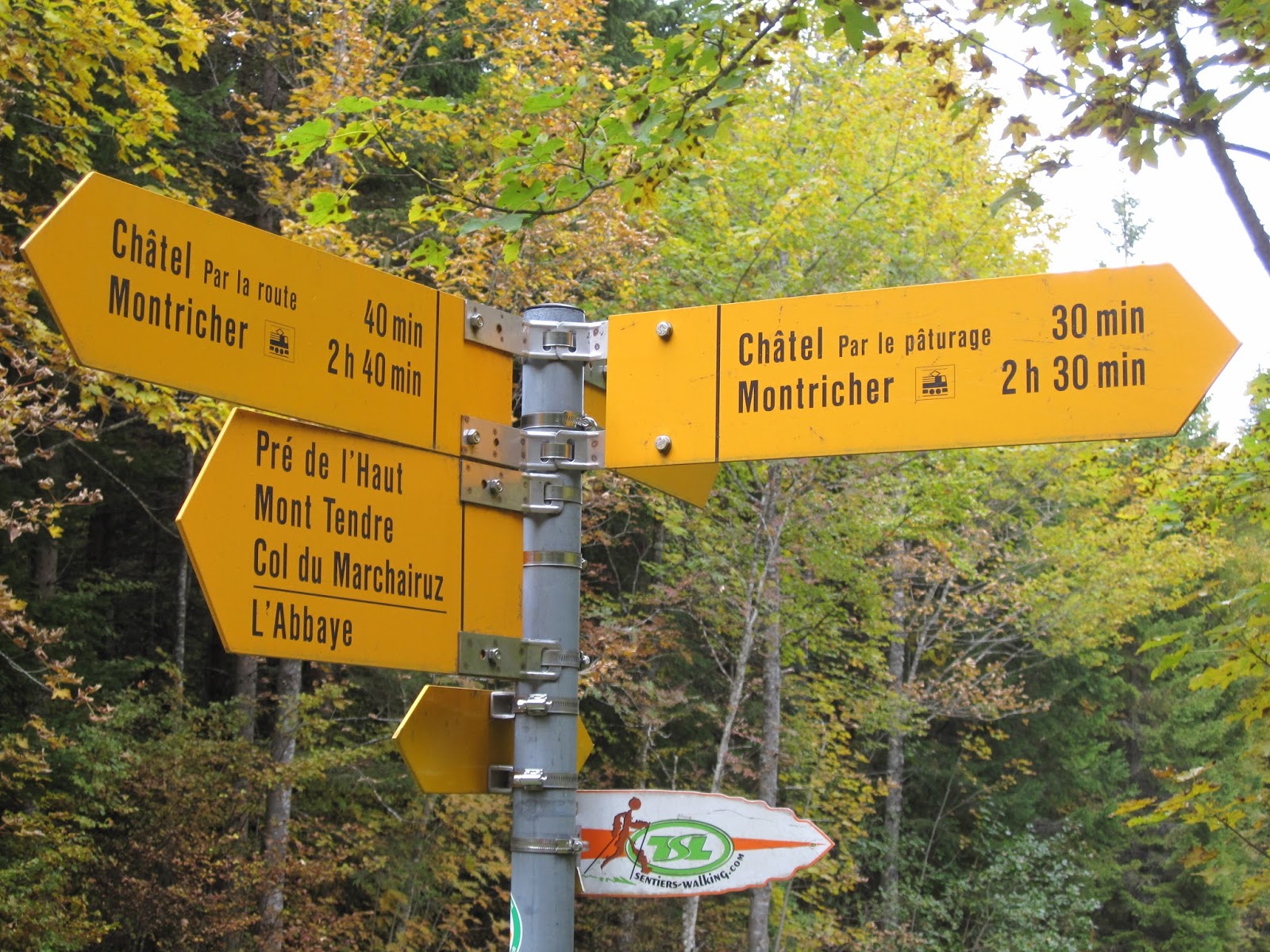
The race started in L'Abbaye before heading up and down to Dent de VaulionCol du Mollendruz, Châtel, Montricher, Mont Tendre, Col du Marchairuz and ending in Le Sentier. It was a fast race and Daniel did brilliantly to finish third overall - his second podium finish in as many weeks!

It was a beautiful time of year to be in the Jura as the landscape is a riot of rich Autumn colours, providing beautiful pictures and great backdrops for action shots of Daniel!

Daniel at Col du Mollendruz, an hour after the start 

The road down from Mont Tendre

Arriving at Col du Marchairuz

The finish was in Le Sentier

Daniel smiling as he heads down the finishing straight

Daniel on the podium!!!

Sunday, October 4, 2015

Col du Mollendruz - Châtel (5: Jura)

We enjoyed a scenic autumn hike from Col du Mollendruz to Châtel in the Jura. The hike started at a cross country ski and snowshoe hut (something to check out when the snow comes next month!) and went up through the forest to La Buvette du Châtel, which lies at 1,432m in the Jura Parc Vaudois. The colours are changing on the leaves and it is a beautiful time of year to be in the mountains!

We went up par le pâturage and came down par la route

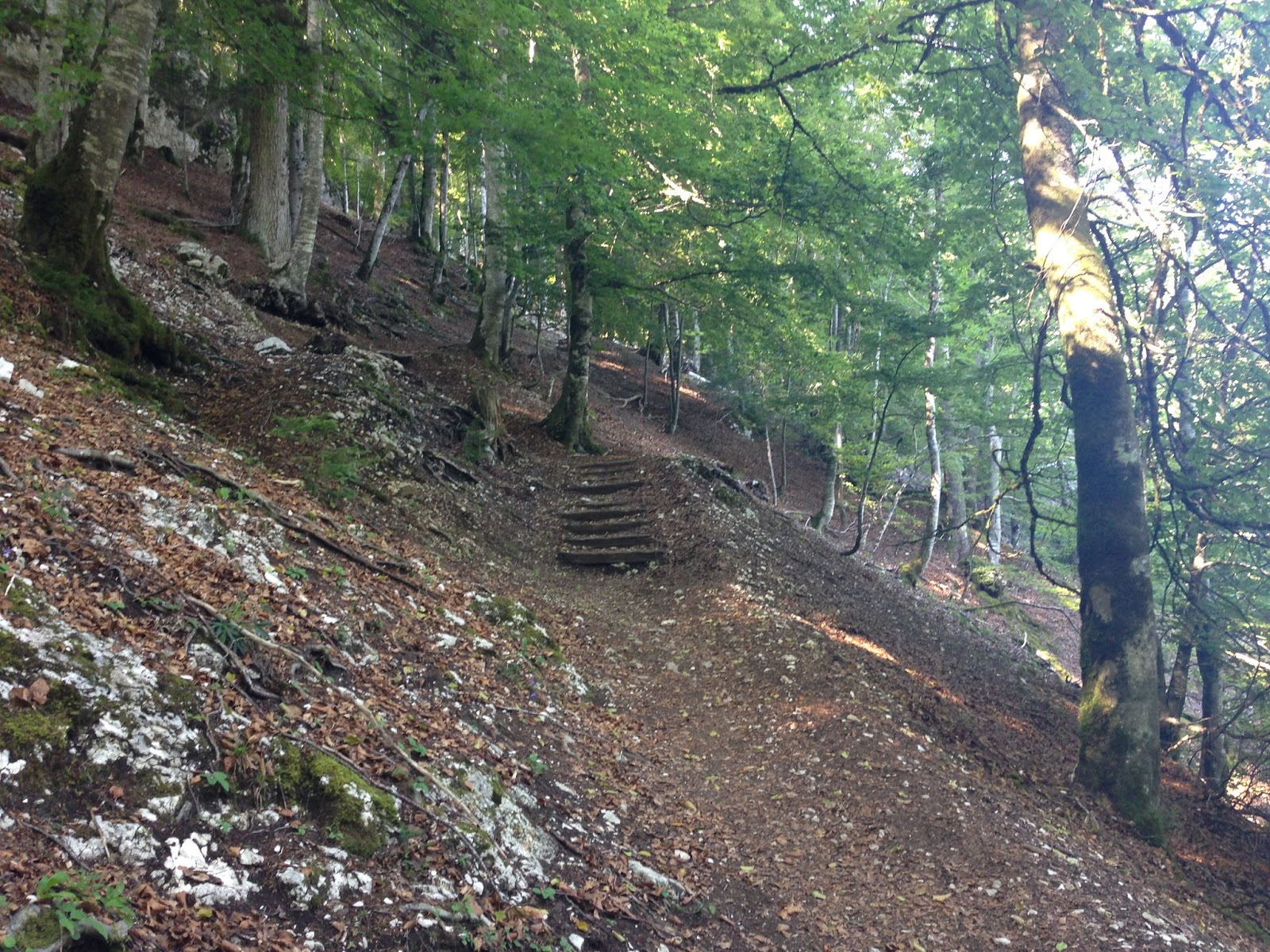
Through woods...

... and forests

At the top!

Beautiful autumn scenery!

A great trail marker!

Cute mountain cottage... One day... :)

Turnstile on the way down

On our way there we passed a traditional 'Désalpe', a bringing down of the cows from the mountains to the lower pastures for winter. The cows are garlanded with elaborate flower designs and their cow bells are ringing proudly - it was quite a sight!


Monday, August 31, 2015

Vallorbe Circuit

Vallorbe is a small town in the Swiss Jura, nestled in a valley basin between the Dent de Vaulion to the south and the Mont d'Or to the north. It gained importance in the Middle Ages for its iron ore deposits and later for its large supplies of firewood. Its location on the French border also made it a travel hub in the area.

We visited Vallorbe to do a circular trail around the town past some its main attractions. We walked through the town to a beautiful forest which led to some small caves which are part of a large network of caves in the region.

Forest on the outskirts of Valorbe

Risoux Forest

Risoux Forest

Always following the trail markers

Entrance to some caves

We continued through the Risoux Forest to reach the Juraparc, a wildlife sanctuary with bears, wolves and bison. We didn't go in, but the trail led past some of the enclosures and we saw some bison and caught a glimpse of bears through the fence! The trail eventually widened into a road which led us back down into Vallorbe. It was a great 11km circuit and we saw many other attractions in the area which we'd like to explore on a return visit.


Forest trails

Forest trails

Bison in the Juraparc

A winding road back down the valley

Vallorbe nestled in a sunny valley

The River Orbe

Our route

Wednesday, July 29, 2015

Martigny

We went to Martigny together so that I could explore while Daniel did a training run up the mountain. Daniel's runs begin at the Château de la Bâtiaz and so that is where my adventure began.

Château de la Bâtiaz

The castle takes its name from the Latin word "bastida" meaning fortress or fortified place. It was commissioned by the Bishop of Sion in the thirteenth century and changed hands several times between Sion and the Count of Savoy. It was burnt on 13 November 1475, but the military importance and defensive position of the castle compelled the new bishop to restore it. The château was destroyed again in 1518 and all that remains today is the central building and the tower.

An imposing fortress overlooking Martigny

The central courtyard

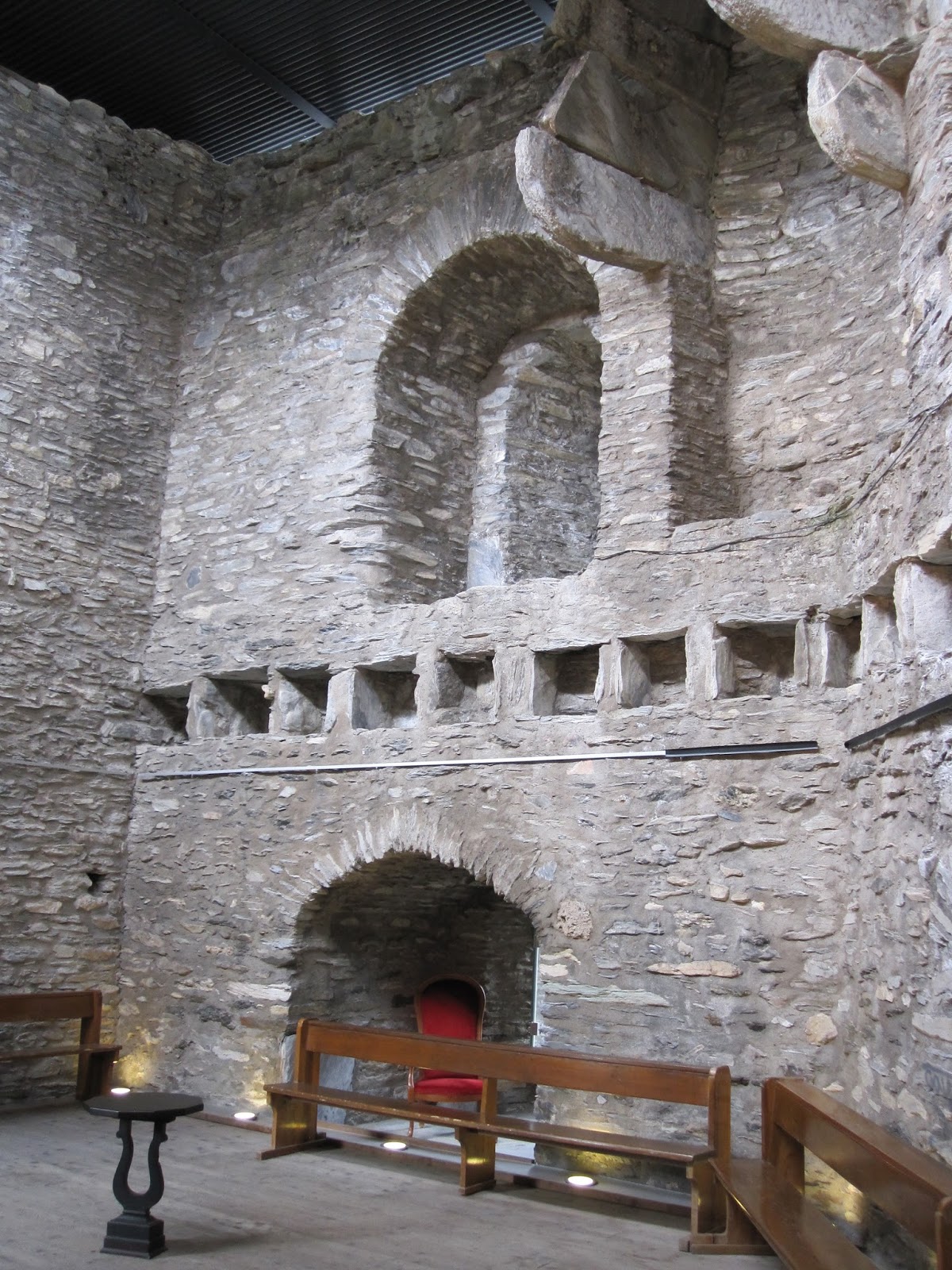
The Hall of Knights

The construction of the tower was taken very seriously and the emphasis was on its defence systems. There are very few windows in the fort, and those which exist are for lookout posts or archers only. The outer courtyard has three trebuchets in it, there is a canon just inside the gate and two other 'war machines' are also on the site. The walls of the tower are 3.5m thick and have a staircase winding up inside. (There are two toilets inside the walls as well!)

The tower rises above the dungeon, which is next door to the torture chamber. The castle sits among picturesque vineyards today, but in the early 16th century those vineyards were gallows. There are 125 steps up to the top of the tower and the views from the top are pretty impressive.

The dungeon, complete with torture instruments and a skeleton

The view from the top of the tower looking up the valley.
Note the terraced vineyards on the slopes of the mountain.

The view down the valley. In the distance there is a wind turbine farm.

Martigny is a gateway town to numerous hiking and skiing trails. After visiting the castle, I followed the little yellow trail signs up through the vineyards and then up and up and up! I walked in the direction of Ravoire, winding up some pretty forest trails.

Lots of options from Martigny

The trail up from the castle through the vineyards

Quiet forest trails

After exploring the mountains, I headed back down to check out the town. Martigny has a population of 15,000 people and it is a bustling town with lots of shops (boutiques and outdoors) and a range of restaurants. The Dranse River flows from the Valais Alps into the Rhone here and there are lovely walks and parks along the river. Martigny has a lot to offer - maybe one day we'll skip the mountains and enjoy the town instead!

An ornate bridge over the Dranse River